October 30, 2017
Monday dawned with cloudy skies, cold wind, and a crisp, fresh smell across the land. A fierce storm brought three inches of rain on Sunday, leaving the woods scrubbed clean.
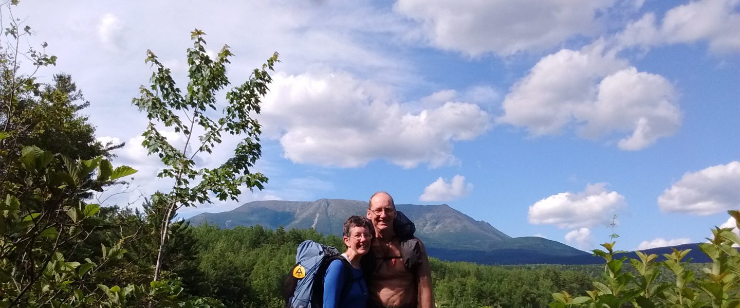
The trail before us crossed the Cumberland Valley, eleven miles of gently rolling terrain, crossing rain-swollen streams, fields, forest, and swamp. Variety! The spice of the AT.
Conodoguinet Creek displayed the power of yesterday’s rain as brown water raced by, extending up the banks, flooding trees, carrying driftwood past at dizzying speeds. I remembered a snippet of conversation with our new friends, Dave and Edna, yesterday.
“I grew up near Conodoguinet Creek,” Edna had told us. “We called it ‘Cannot Go In It Creek.’ My mother made sure all of us children learned to swim, but even so we weren’t allowed to play in the creek by ourselves. It can get pretty big at times.”

The trail followed the creek for a time, with many branches blocking the path after yesterday’s storm.

I was also glad of the occasional boardwalk over particularly swampy sections.

A bit farther on, Jay and I noticed some osage orange seed balls, slightly larger than tennis balls and about the same color. This tree was highly prized by Native Americans for making bows. Colonial settlers used the wood for fence posts. Jay paused to play with a few seed balls.


Forest gave way to fields, and we passed wind-tossed corn crops.


At Trindle Road, a kiosk sign gave us a wider vision of the valley through which we were hiking. We learned that the Cumberland Valley is part of the Great Appalachian Valley, a giant trough, or chain of low hollows, stretching 1,200 miles from Northern Alabama to Quebec. It has been used as a travel route since prehistoric times. Geologically, the valley is a mixture of limestone bedrock and upwellings of igneous rock, creating some of “the richest topsoil in America.”
Near the end of our day, we came across another sign that invoked hearty laughter. After all the truly rough terrain we have crossed in our 2,190 mile trek, why did someone think this sign was important to place before these small bumps?

The evening brought us to Boiling Springs, PA. We were charmed by the beauty of this scenic small town, but too tired to truly appreciate it. When Dave picked us up, we gratefully climbed into his warm vehicle, ready for a snug night’s sleep after our lovely but cold day of hiking.

I have been following your blog this year and really enjoyed hearing your stories. My grandparents lived a short drive from Pine Grove Furnace so my siblings and I have hiked a lot of trails around that part of Pennsylvania. This is where I developed my love of hiking. Now at 40, I am dreaming I will someday be able to do a thru hike. It has been a dream of mine for many years now. I admire the determination you two had to complete it this year. I would love to get some input and recommendations for an easier hike. I imagine you have completed the hike safely. Would love to hear an entry on how life has been after the hike. Way to go!
Brad
LikeLike
Dear Brad,
Yes, we have completed the thru-hike. I am still writing the last two entries, which will be put on the blog soon.
I am charmed that you have been reading our adventures and dreaming of your own. I will think of recommendations and get back to you. In the meantime, hold fast to your dreams!
Sincerely, Sarah
LikeLike