October 8, 2017
Rain began our morning. There’s nothing quite like hearing the patter of drops on top of the tent, just inches from ones face, first thing in the morning.
By now, Jay and I have our rainy-day-campsite-pack-up down to a science. First, pack everything into our waterproof bags while still inside the tent. Put the bags into our packs. Put on rain gear. Then emerge from our dry haven into the dripping, watery forest. At this point, I always stand a moment and revel in the wonder of being dry inside my rain gear while fat drops of water plop on my head. We then take down the wet tent and pack it into Jay’s outer pack pocket. Next we retrieve our food bags and put them into the tops of our packs. Finally it’s time to set out down the trail, looking for a dry place to eat. The whole process takes about 30 minutes.
Today we were only eight-tenths mile from Pochuck Mtn. Shelter. When we arrived, the rain was streaming off my rain gear, beginning to trickle down my neck. Four hikers were packing up inside the shelter, eating breakfast, stuffing sleeping bags, etc. They were a bit startled to see two very wet hikers suddenly appear out of the mist.
“Hi!” I greeted them brightly. “We don’t want to drip all over you, but we haven’t had breakfast yet, and we were planning to eat it here, under cover from this precipitation!”
The good-natured hikers willingly consolidated their gear and gave us a dry corner of the shelter. What a treat, to eat breakfast without water drops plopping into my raisins! By the time we finished eating, the downpour had lessened to a small pattering, and I was ready to set off into the drizzle.
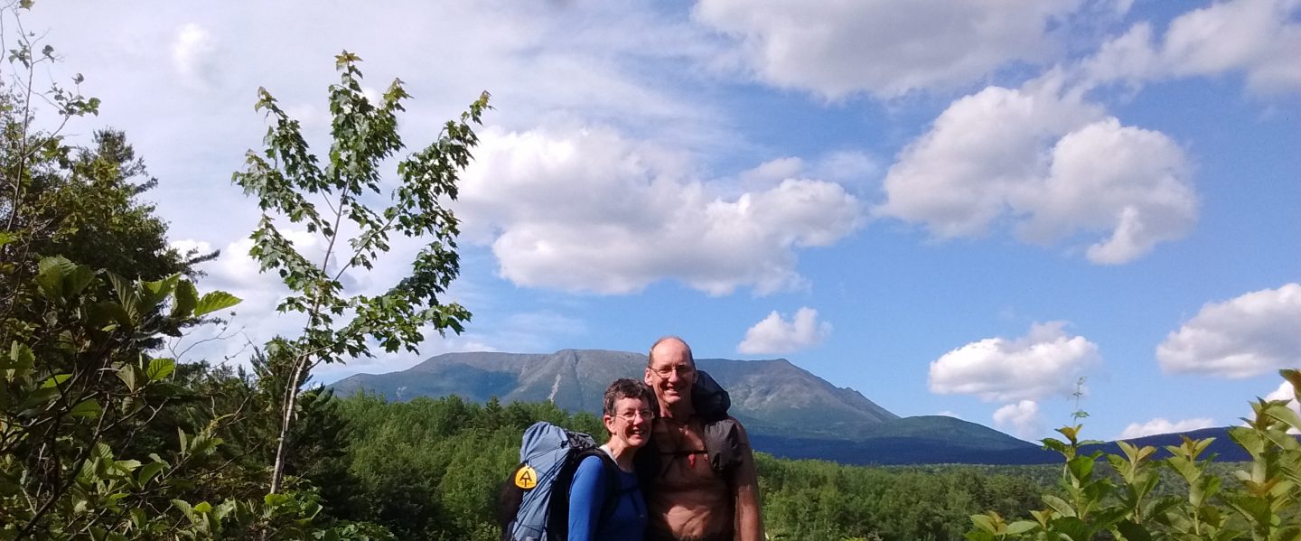
We hiked 15 miles today, through clearing skies, then lowering clouds and incredibly heavy humidity. Wallkill River National Wildlife Refuge was a treat – two miles of level grassy trail circumnavigating ponds and marsh where ducks and egrets happily enjoyed the weather.

From there the trail gradually climbed 1,300 feet in elevation to a tower at High Point State Park, the highest point in New Jersey at 1,803 feet. There is an obelisk built as a war memorial in 1930, about three-tenths mile off the AT. It was late afternoon, and I was reluctant to take the side trail. But a wooden viewing platform right on the AT, at 1,700 feet, gave an even more expansive view. Clouds hovered just above us, enabling us to enjoy a sweeping panorama of the surrounding countryside encompassing three states, New York, New Jersey, and Pennsylvania.


Though we were able to shed rain gear for the afternoon, our feet squelched wetly the whole day. Saturated socks began rubbing blisters. I was delighted to reach the High Point State Park Headquarters and call a shuttle to take us to a hostel, Mosey’s Place. What a treat, to end such a beautiful but wet day with dry clothes and a dry place to sleep. As I snuggled into the bunk bed at the hostel, and heard the rain begin again, I knew that I was a very lucky woman!

Are you ever coming home? Miss you Sarah and Jay
LikeLike
YES. 🙂
We’re definitely working towards home. It’s nice to be missed. 🙂
LikeLike
lucky committed and wise woman, you are. it looks like you not only hiked s to north but are now hiking north to south. you two are amazing
LikeLike
Dear Brenda,
If you read my blog post, Shaking the Mile Monkey, it explains our”flip-flop” of a hike. Going both directions has allowed us to enjoy good weather for more weeks. 🙂
LikeLike
Hi Sarah and Jay!
Good to hear you are still enjoying the rain and the wilds and warm, dry relief!
Thinking of you as you find your way through two more states!
Much love to you both!
Peggy
LikeLike
Thanks, Peggy!
I’m glad you are still reading the blog, in spite of the month long hiatus. (Life, and poor internet, has a way of slowing blog writing!). I’ll be writing more soon.
LikeLike