Here are some overall impressions of the states along the AT, meaning states other than denial, confusion and lethargy.
Georgia is the boot camp of the AT. Continuous ascents and descents with little change in scenery serve to develop strong trail legs and mental determination. Crowds diminish as people realize that thru-hiking demands a different set of priorities than weekend hikes: distance comes first over cooking, bird watching, swimming, fishing, or any other of the pursuits usually associated with backpacking.
North Carolina and Tennessee reward hikers that persevere through Georgia with beautiful scenery coinciding with the onset of spring. The Great Smoky Mountains adorned with carpets of wildflowers are a highlight of the entire trek. Northern Tennessee offers beautiful scenery as hikers are routed off the ridges to hike along rivers and past thundering waterfalls among the blooming mountain laurels.
Virginia offers the thru-hiker distance (it contains over a quarter of the entire trail) and variety. The thru-hiker is treated to everything from rolling pasture lands with fence stiles and cows to challenging boulder scrambling (with snakes) atop ridges, and everything between those extremes. Virginia also offers the hiker a mile or two of easy walking for each 20 miles hiked, allowing him to achieve longer daily distances. I liked southern and central VA but didn’t care for Shenandoah National Park. The trail through Shenandoah NP crosses the Blue Ridge Parkway 28 times and never seems to escape the sounds of motorcycles roaring through. It is, however, a great place to see bears.
West Virginia gives the thru-hiker the major milestone of Harpers Ferry. The ATC headquarters, historical sites, and beautiful scenery make unforgettable memories.
Maryland is a gratifying gift. Easier terrain combined with Civil War historical sites allow the hiker to daydream about the significant things that happened in this very forest, years ago. This section flies by all too quickly, lasting only 42 miles.
Pennsylvania is a place of transition: from easier hiking through occasional cornfields and quaint villages in the Cumberland Valley to painful walking on un-glaciated sharp-rocked ridges in the north. North bounders can also feast on their first ripe blueberries. The rocks aren’t technically hard to navigate, for the most part, but they have a cumulative effect on the feet as the days add up. By the time you reach New Jersey, your feet feel swollen and bruised.
New Jersey is a delight, offering smoother, glaciated rocks to walk on, the first lakes and ponds to swim in, and fun boardwalks through swamps. The place is crawling with bears: I saw at least one every day. New Jersey also offered mosquitoes, but they were only bad enough to require the use of Deet for 3 of the 6 days I was there.
New York surprised me with its brutal terrain. Although the trail stays low in elevation, it tends to cross ridges rather than run along them. The gradients are very steep. Names such as “Agony Grind,” and “The Lemon Squeezer” adorn sections of the trail through New York. New York offered my favorite view of the trip so far. From Black Mountain I saw the mighty Hudson River winding through verdant forests to the NY city skyline some 35 miles distant. It was breathtaking and made me feel like I had truly traveled a long way from Georgia.
I remember Connecticut for the wacky, rich citizens of Kent, the ultra-high prices, not allowing campfires, and meeting our first south-bounder. This state flitted by in the blink of an eye, taking only four days to cross.
In Massachusetts I saw snapping turtles and moose tracks. I enjoyed a flat walk along the Housatonic River, and refreshing swims in Guilder Pond and Upper Goose Pond. I encountered mosquitoes of impressive size, and friendly locals like the owner of Dolls and Dwellings and the Cookie Lady. I was challenged by the traverse of Mt. Greylock, and thoroughly enjoyed my zero in the artsy town of Williamsburg.
Vermont offered spongy mud holes, spectacular views from Stratton Mountain, easy hitch-hiking, and lots of company from locals beginning the Long Trail. I enjoyed eating and watching a storm from the Whistle Stop Restaurant, and my first view of the White Mountains from the top of Killington Mountain. I also remember the quiet restfulness of Kent Pond Lodge.
New Hampshire is the bully of the AT. The White Mountains are far more challenging than any previous section of the trail experienced by north-bound thru-hikers. The trails are incredibly steep and rocky, and the weather can turn any summer’s day into instant winter. New Hampshire also challenges the thru-hiker mentally. He or she must learn to negotiate the hut and campsite system operated by the Appalachian Mountain Club throughout the Whites.
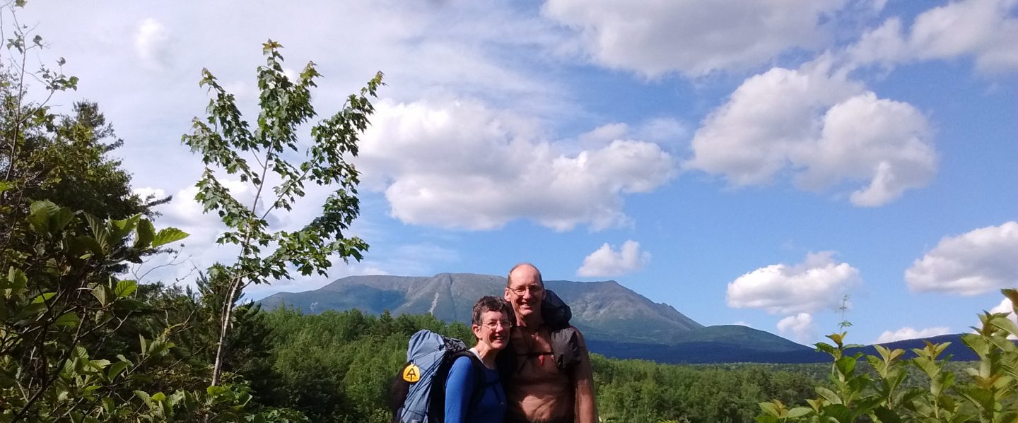
Maine is just as tough as New Hampshire, but offers less of a shock to north-bounders who have already earned their wings in the White Mountains. Southern Maine is mountainous. Some of the mountains are made of slate, which is especially slick when wet. Maine is the most remote-feeling state on the AT. The 100-Mile Wilderness in central Maine offers the tired thru-hiker a relaxed gradient as the trail threads its way around countless lakes. Nothing but loon songs and the sound of wind in birch leaves interrupts the silence of the endless forest. And finally….Katahdin is revealed. I cannot think of a better culmination to a thru-hike of the Appalachian Trail than the ascent of Mt. Katahdin. I will remember it always.
